The aim of all construction on this site is minimal impact to the existing ecosystem. This creates a unique
challenge to the design and construction process, considering the complex slope
and density of trees. Therefore, we decided to begin the project on-site,
identifying possible building sites, routes for transportation of materials,
paths for humans, and solidifying the overall project concept. Eventually, we
developed the first phase of the project by “sketching” with orange lines on site.
02.15.2012 _ FLORA & FAUNA ON THE PROPERTY
The property is located on Bordeaux Mountain Road at an
elevation of 1250 feet above sea level. The slope of the land varies from
approximately 30 to 50 percent, facing south towards the National Park and down
to Reef Bay. This area of Bordeaux Mountain is often referred to as the Bay
Leaf Forest due to the abundance of the Bay Leaf Tree in the area. The leaves
and berries of this tree are rich in aroma; a simple grinding and processing of
them results in “old spice”, commonly used as a spice in food, alcohol, soaps,
candles and perfumes. This is the only
spice that is actually native to St. John. The land is also home to many birds,
insects, reptiles, and plants.
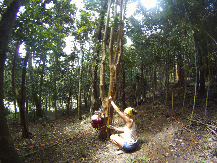
Photos (from top to bottom): Stick insect, Ceiba tree (also
known as Monkey-No-Climb, Pistol, Kapok, and Sandbox), Coqui tree frog, unknown
species of tree with giant bromeliads in canopy, Bay Leaf tree, Bay Leaf tree
with common tree lizard, carving in base of tree by local artist Herman Smith, property as
viewed from Bordeaux Mountain Road.
02.10.2012 _ VIEW TO THE BVI'S FROM BORDEAUX MOUNTAIN
St. John has a land area of approximately 20 square miles, with an estimated population of 4300 humans; several thousand deer, donkeys, and wild boars; wild and domestic cats, dogs, cows, and chickens; an ever-growing number of mongoose and iguanas; and a vast array of reptiles, birds, and insects. Being of volcanic origin, the island is rocky and mountainous with an average land slope of 40 percent. It has an incredibly diverse ecosystem, from arid desert to tropical beaches to lush rainforest. There are two seasons on St. John – rainy and dry. Rainy season brings much needed water to the island. All islanders must collect and store water from their rooftops, as there is no water or sewage infrastructure on the island. Dry season brings tourists, eager to bask in the endless sun and curious about the underwater corals and sea life that surround the island.
Over two thirds of the land area of St. John is protected
National Park. Starting in the 1950’s with the Rockefellers, private donors
have and continue to make large donations of land to the National Park in the hope
of preserving its natural beauty.
In January 2012, designpersquareinch purchased a
three-quarter acre plot of land on the ridgeline of Bordeaux Mountain. (Photo –
the peak at the far right.)
02.05.2012 _ APPROACHING ST. JOHN FROM THE BVI'S
“The more clearly we can focus our attention on the wonders and realities of the universe around us, the less taste we will have for destruction.” – Rachel Carson
Approximately 100 million years ago, the denser and
faster-moving North American plate shifted under the Caribbean plate, forming a
chain of underwater volcanoes. These volcanoes, fueled by intense heat from the
continued friction of plate movement, and combined with the lift of the plate
edge eventually formed the Greater Antilles island chain. Thus, St. John Island
was born.
Geographically speaking, St. John Island is a small peak on
the Puerto Rican Bank, a mostly underwater mountain plateau that is located on
the eastern end of the Greater Antilles island chain in the Caribbean Sea. The
Puerto Rican Bank encompasses the islands of Puerto Rico, Vieques, Culebra, and
the United States and British Virgin Islands. Politically speaking, St. John is
one of four islands making up the United States Virgin Islands. The other three
islands being St. Thomas, St. Croix, and Water Island. Formerly known as the
Danish West Indies, the United States government purchased these four islands,
and their surrounding rocks and cays, from Denmark in 1917.